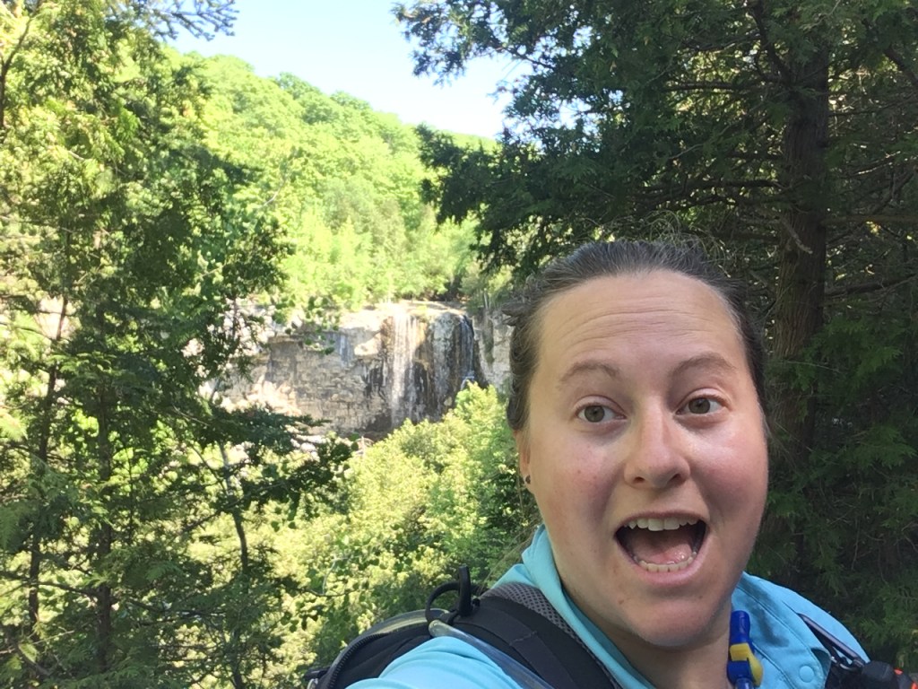
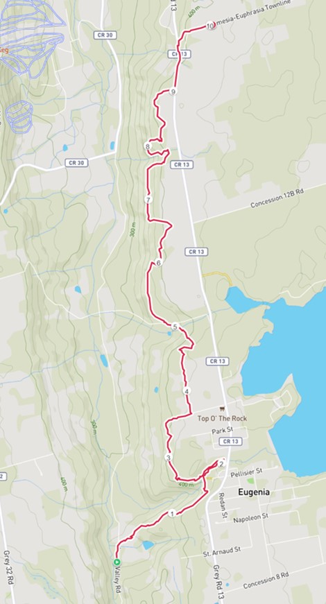
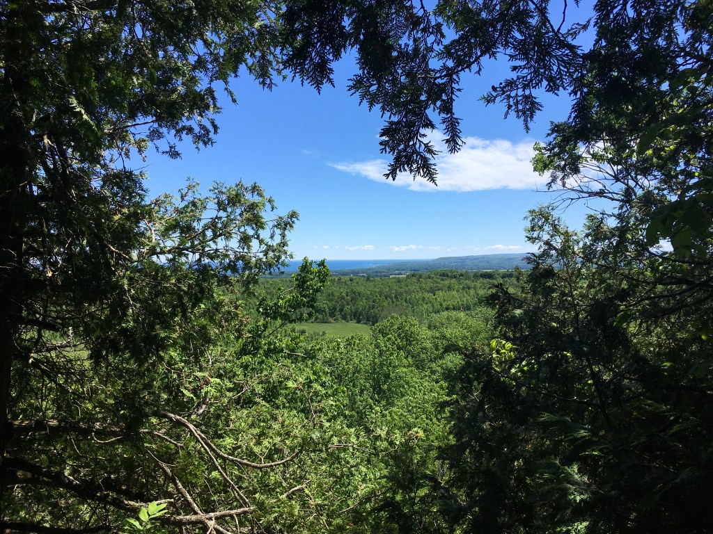
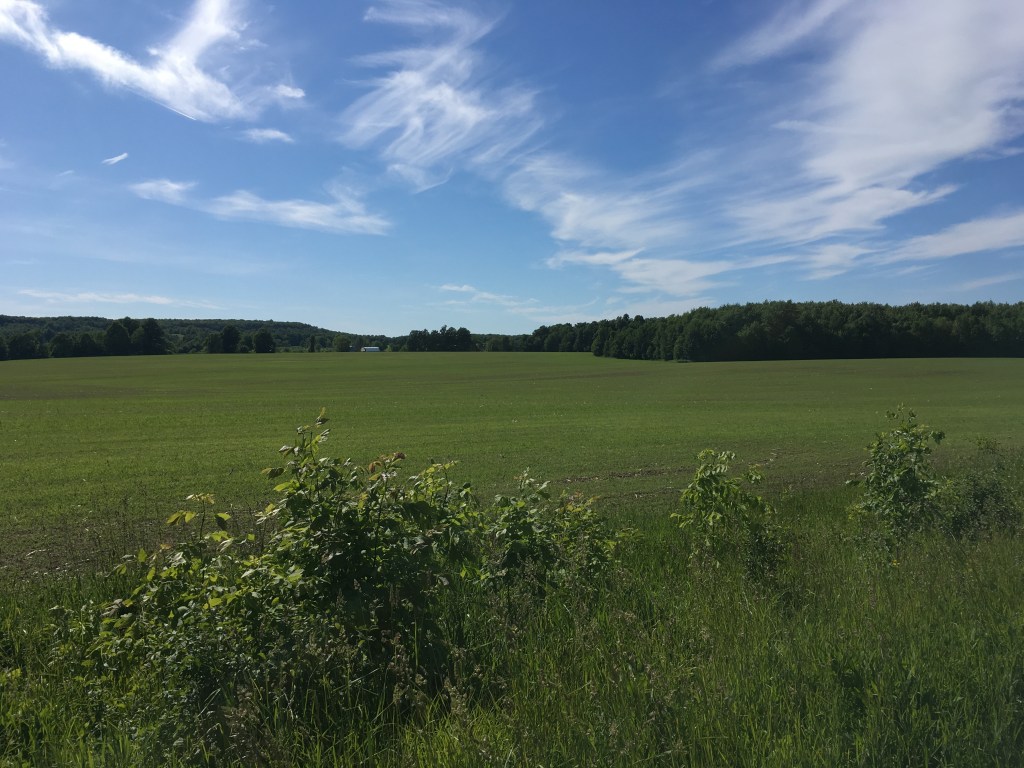
Jun 9 – Day 5 The forecast was calling for >36C with humidex so we knew today needed to be earlier and shorter. Grey-Sauble waterfall sites had reopened a couple days earlier so I could now go East from Hogg’s Falls. This would make a handy ~10km route for a hot day. A quick climb up the first hill and I was at Eugenia Falls. It is more impressive than it seems from photos. From there the trail continued along the escarpment with lots of short ups and downs. I was prepared for these having studied the topo map, and I think it was actually easier than I’d expected. It was a nice walk, although nothing particularly notable happened.
I enjoyed the lookouts where I could see the Beaver Valley Ski Hill I climbed last week. It feels like making progress! I was soon out at the highway, and made it a bit further to Artemesia-Euphrasia Townline before Brent arrived to collect me. Along the way I met 2 volunteers who were working on a reroute to get off the road which they predicted would be ready in the fall. Awesome work – much appreciated! This short hot day totaled 10.3km in 2 hours 55 minutes. 375m elevation gain, 305m loss.
Jun 10 – Another very hot day, seemed like a good choice for a day off. We might be nesting – we spent the day shopping for condos in BC online, and bought a new tent for summer camping adventures. *our old tent was borrowed from my sister and was about 15 years old. It was great quality obviously, to have lasted so long. We had to restring the pole elastic a couple years ago, and the floor was getting holes. It was time to splurge on a new one. A big storm knocked out the power in the evening. It was kind of nice to have a quiet night with no electricity.
Jun 11 – Day 6 The power was still out in the morning. Our amazing hosts delivery coffee to our door which was super thoughtful. They were well set up with a generator which they hooked up for the fridge. It seems like a great choice to head out hiking – no power required for that. And the heatwave had broken with the storm so it was excellent hiking weather.
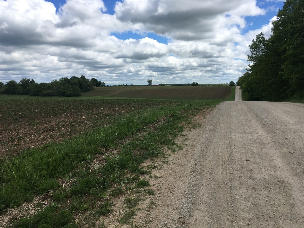
I had a few road kms to start the day. It was really pretty landscape and almost no cars so quite enjoyable. I saw a turtle in the middle of the road and wanted to help make sure it didn’t get run over. When I came along it was not moving (with one leg(?!?) and its head out) and smack in the middle, facing up the road. I moved it to the one side, but I suppose there’s a 50% chance I helped, 50% chance I made made it worse as I couldn’t tell which way it was trying to go.
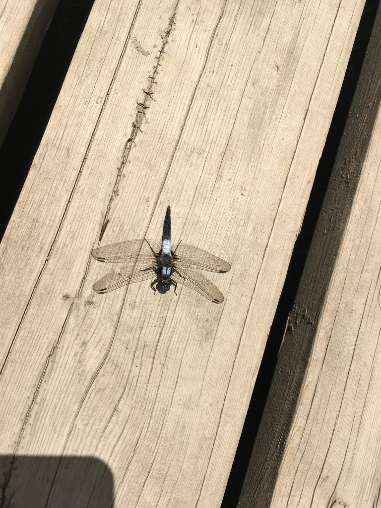
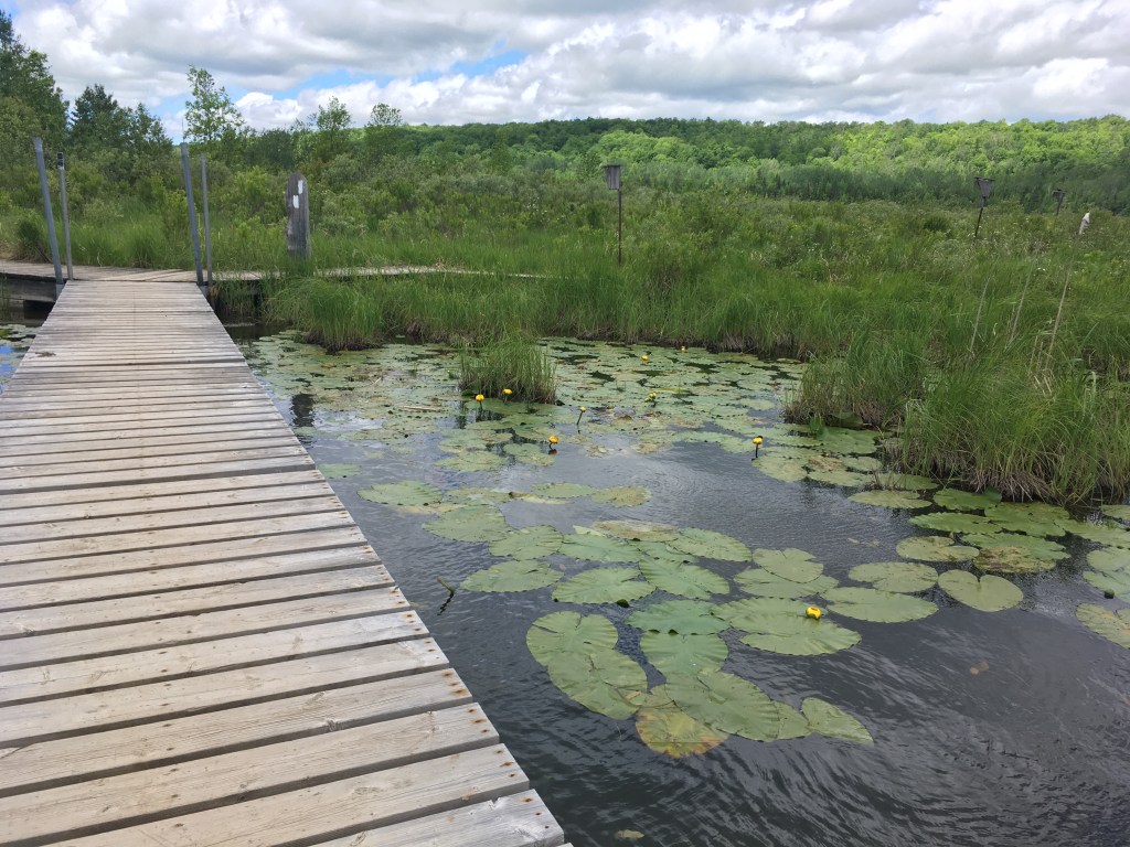
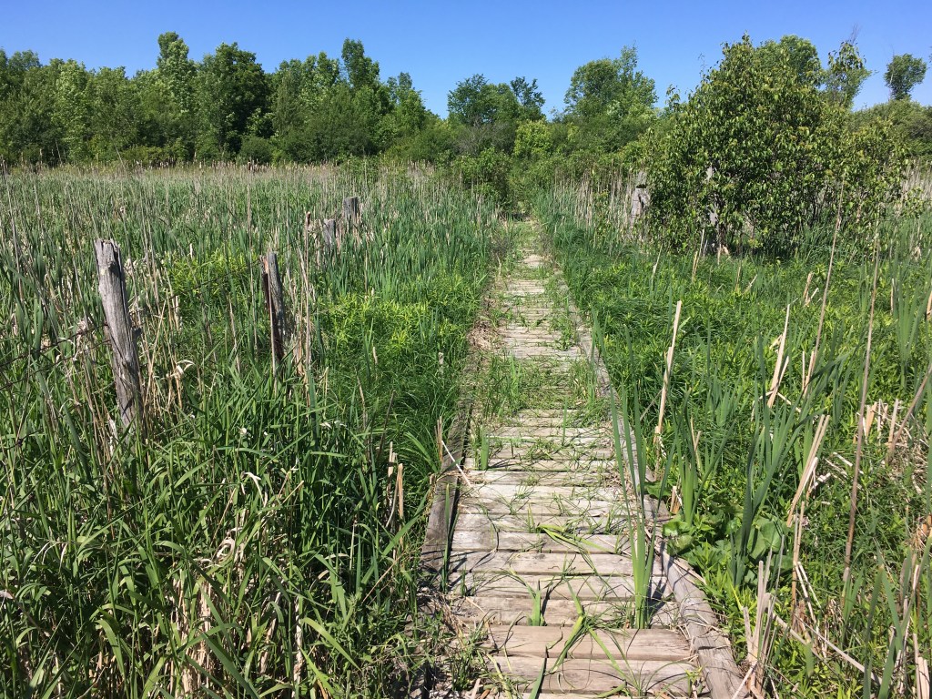
After the road section it was onto Bognor Marsh. We’d hiked this section a couple times earlier as it opened in May. I debated taking a shortcut around part I’d already hiked, but I feel like I want to hike it all ‘from my start date’ so redid the marsh. Dragonflies were abundant but there were no mosquitoes – score!
One of a million 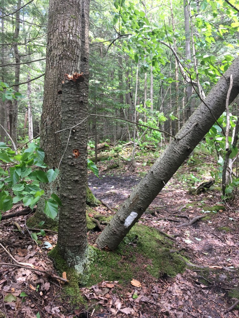
Was this from the storm? Blaze down!
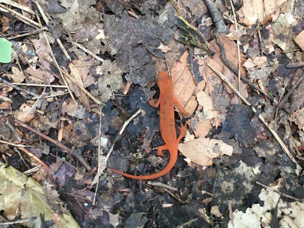
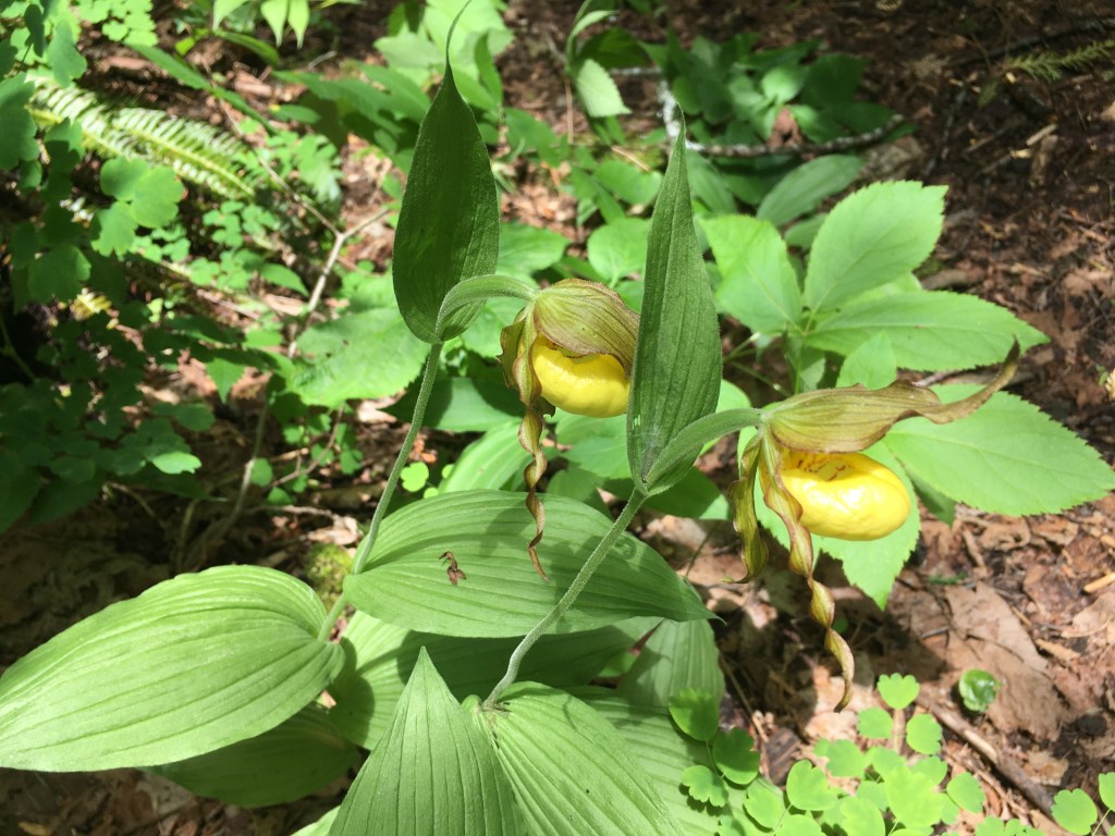
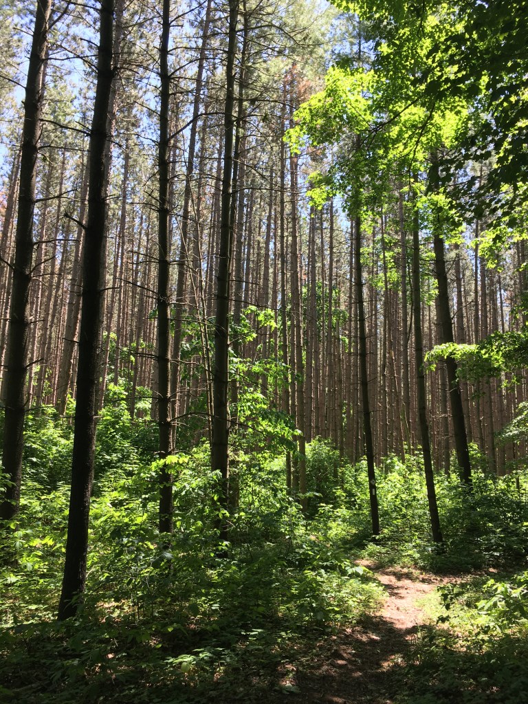
Above the marsh along the escarpment was pure bliss. What a section! The forest was so peaceful. No bugs. Great foliage. I came across a salamander looking creature on the trail which was very exciting (I’ve never seen anything like it). Googling later tells me it’s a red-spotted eft, and quiet common here. I spotted more lady slippers – so delicate and perfect.
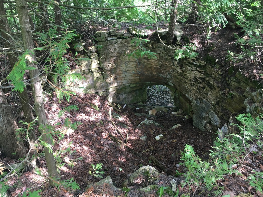
Natural or man-made? 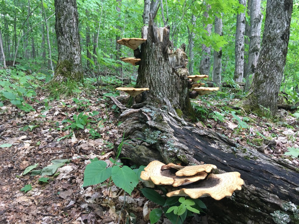
Watch your step
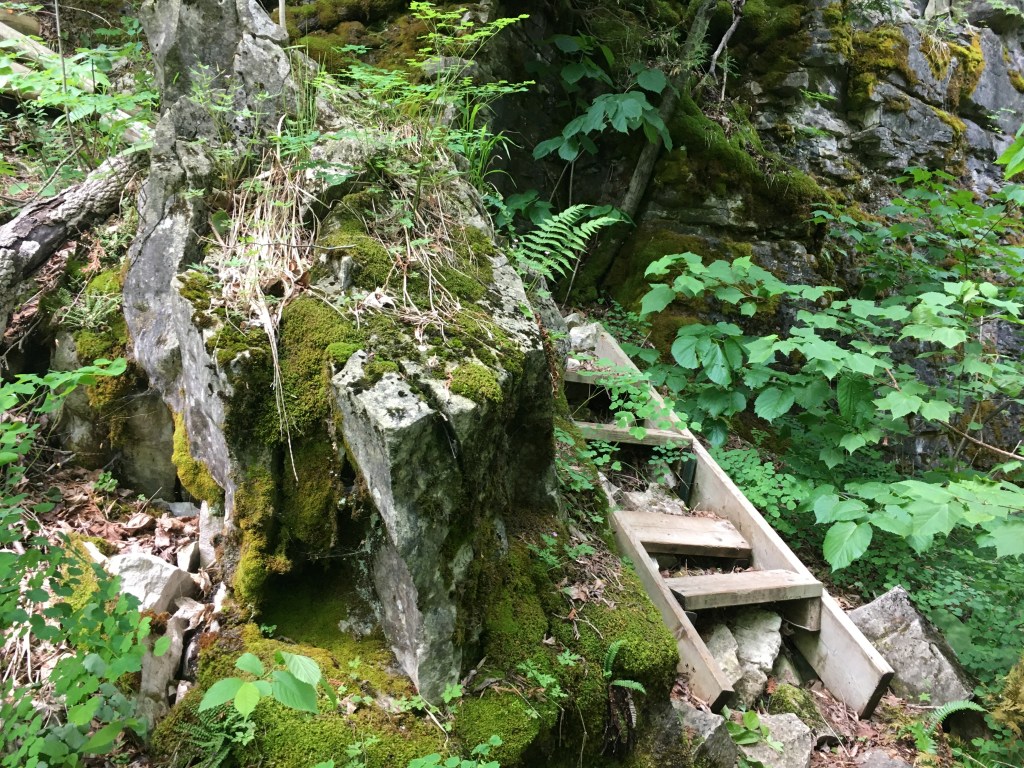
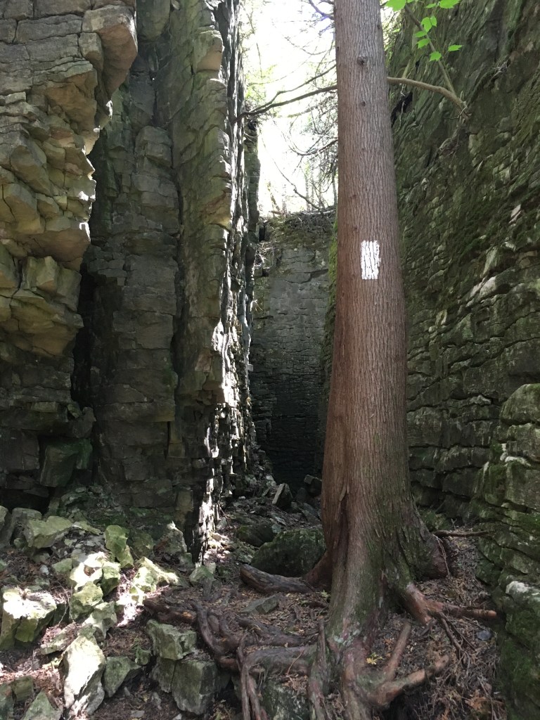
The trail went ‘through’ the escarpment several times, up and down. Very cool geology (crevices and caves). It was a bit challenging physically, but totally worth it. I’d planned to end the day in Woodford, but I was a bit ahead of schedule. There was a ~2km section to the next road which looked easy enough. Oh man! It wasn’t smooth walking, but it was exciting and I had heaps of fun. It was another section which went ‘through’ the escarpment as much as over or under. I bet kids would LOVE this section. Photo story below….
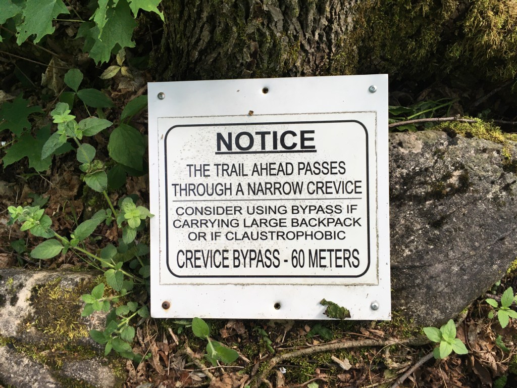
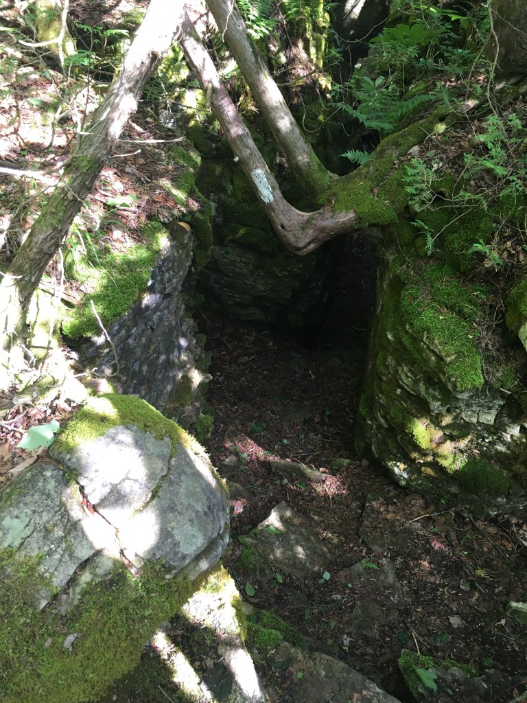
Enter if you dare 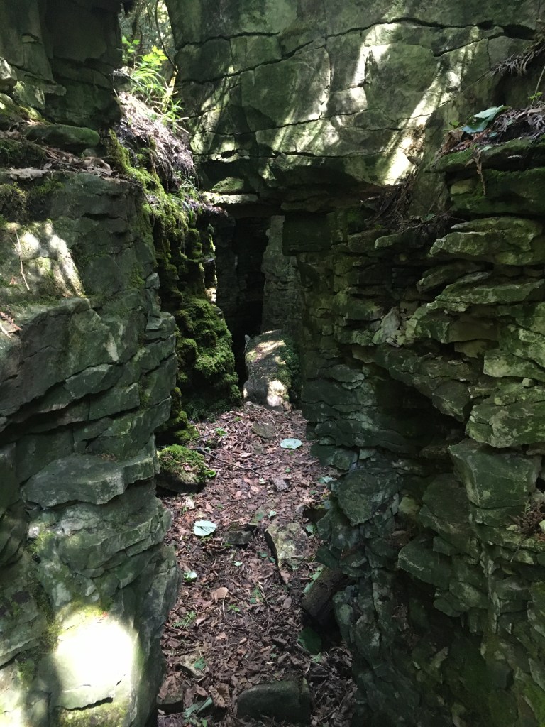
Cool – in more ways than one 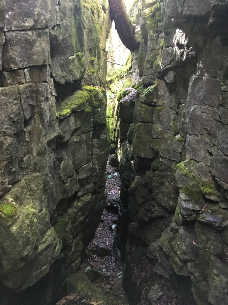
Less of a squeeze than expected 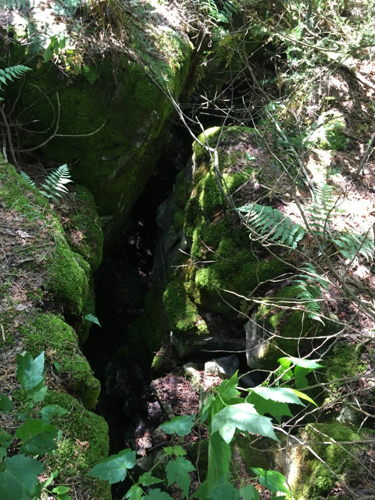
Close up of the exit from above 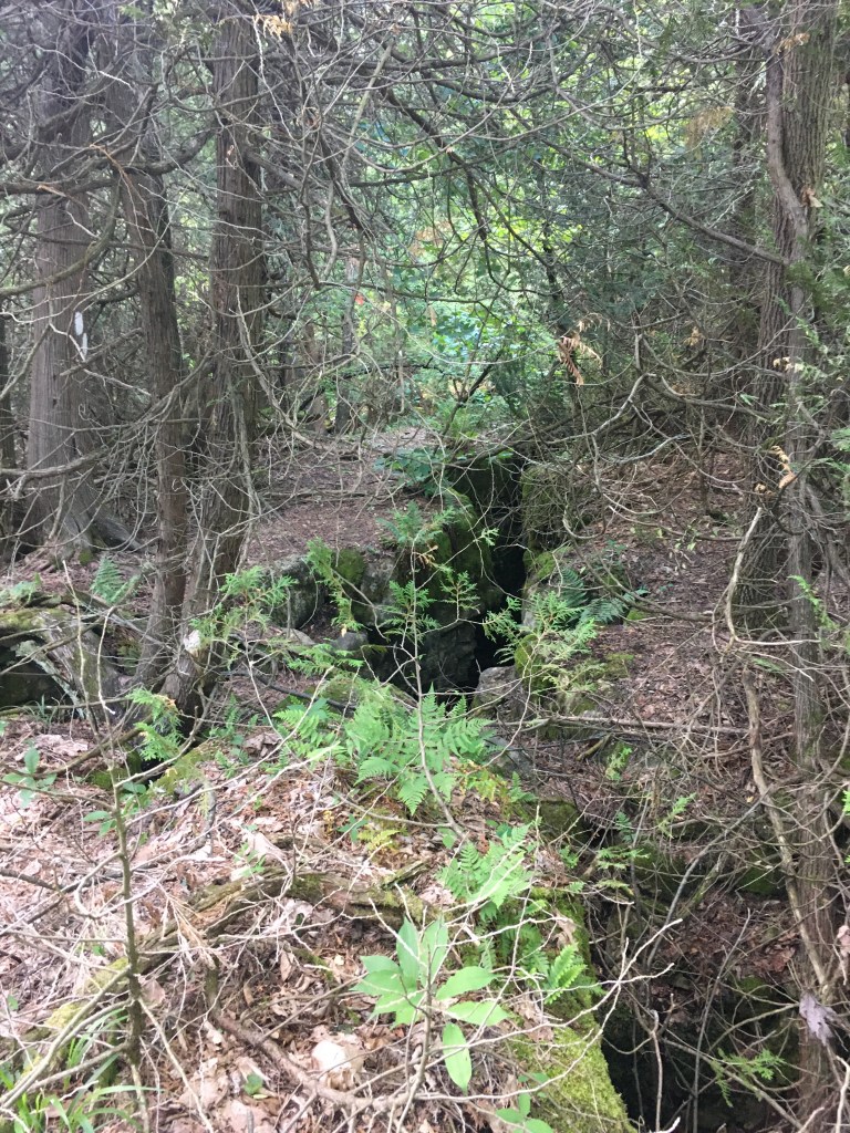
The trail is IN this crack
All in all, this was my favorite day so far. I saw ZERO other people over 21.7km in 6 hours. 420m elevation gain, 415m loss
Jun 12 – Another day off the trail. My parents came to visit for a socially distant lunch on the patio. We’d made some salads – quinoa tabbouleh, pasta and veg, and sweet potato black bean. It was great to see them. After they headed home, the news was all about Ontario now allowing 10 people bubbles with touching. WHAT?!?!? I could have given them a hug!!! Darn it.
Jun 13 – Day 7 Back on the trail. The morning was in Bayview Escarpment Provincial Park. We’d done a part of it in May, but today included a lot more. My overwhelming thought of the day was “1000 shades of green”. The forest was SO lush. Just gorgeous. It was Saturday and I saw a ton of people (compared to previous days). Everyone was very respectful keeping a distance while passing. And with a ‘ton’ of people, I’d still go kms without seeing anyone. It was perfect hiking weather – cool and breezy.
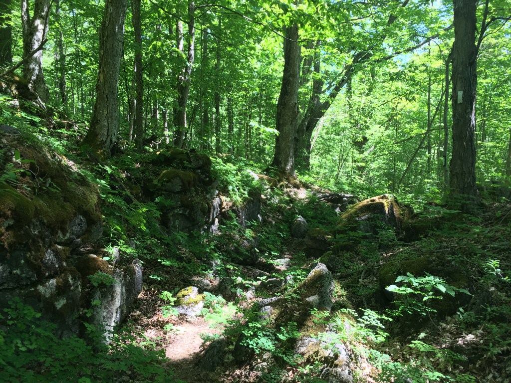
A “Bayview” 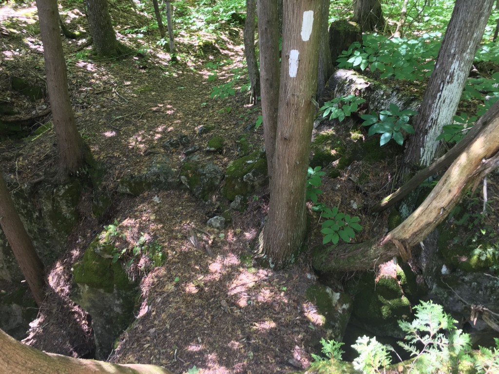
Trust the trail – mind the gap either side! 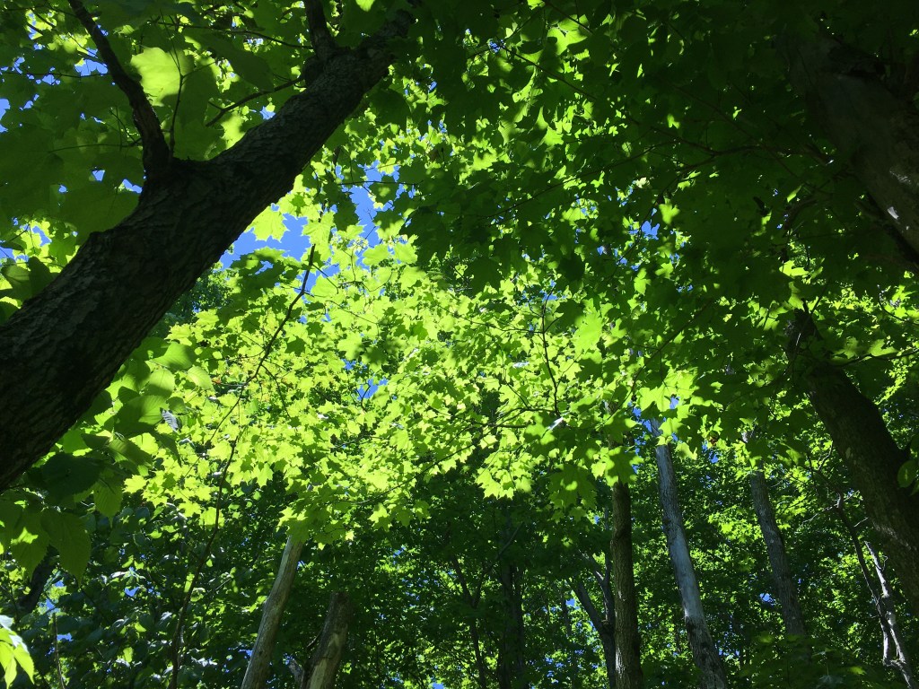
Lush!
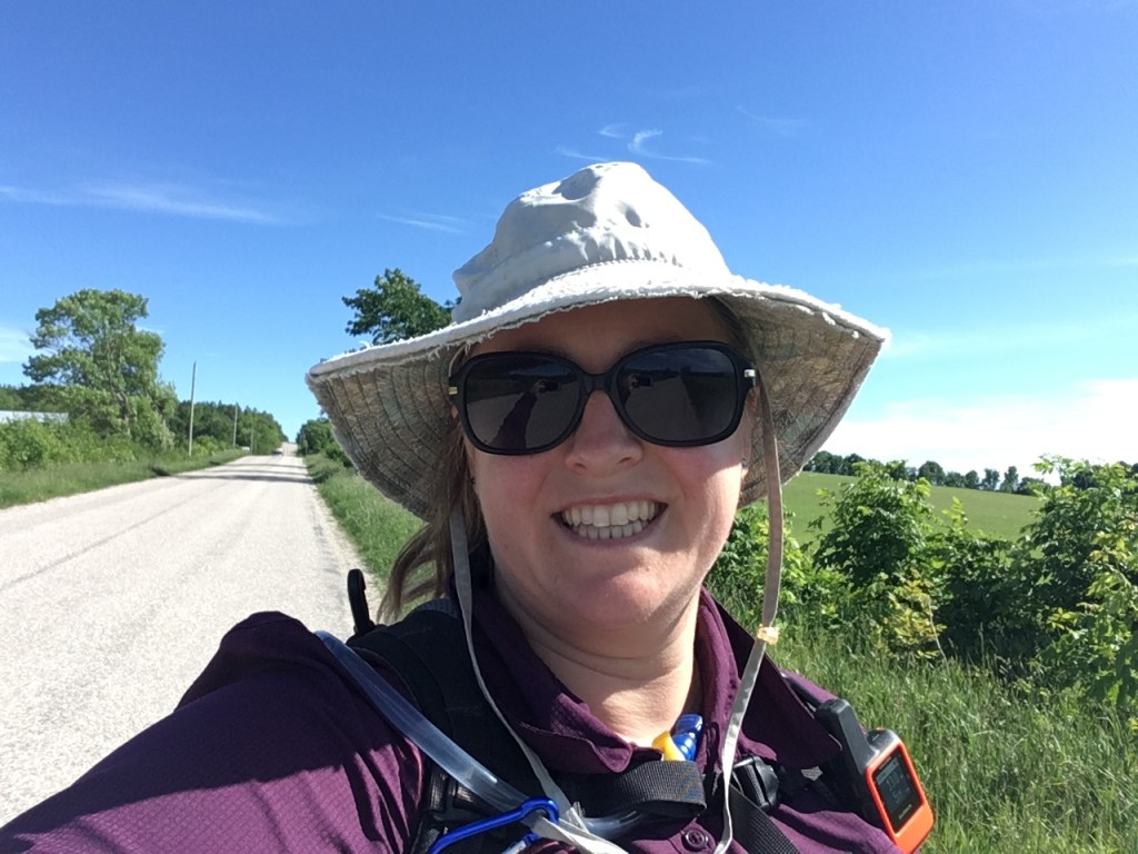
The afternoon was mostly a long road section. There was a pair of people hiking about half a km in front of me. Our pace was similar. I’d see them whenever the road was straight and hills were lined up. I don’t know if they even saw me, but I felt an odd camaraderie as I followed them – I’d guess you only walk the road sections if working towards an end-to-end.
23.7km in 5 hours 58 minutes. 375m elevation gain, 420m loss

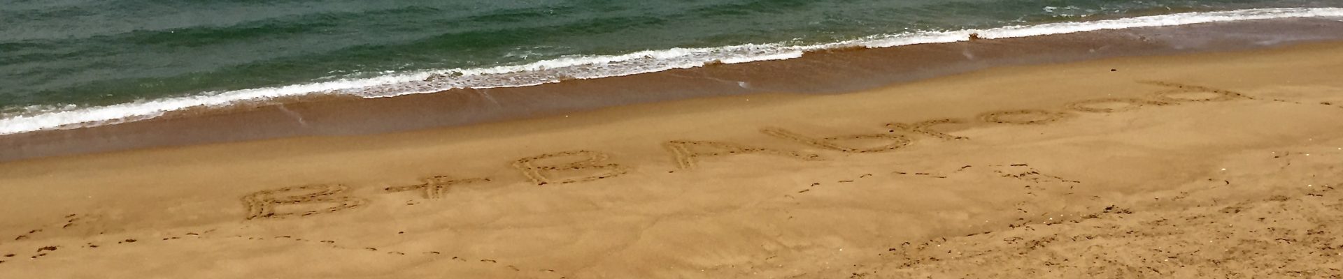
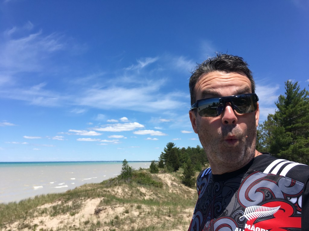
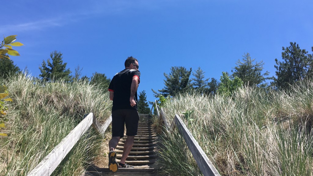
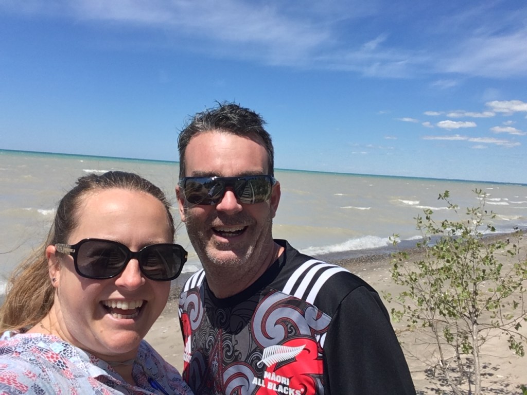
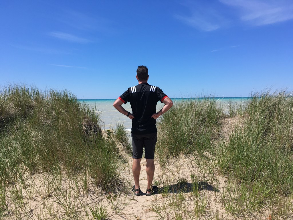
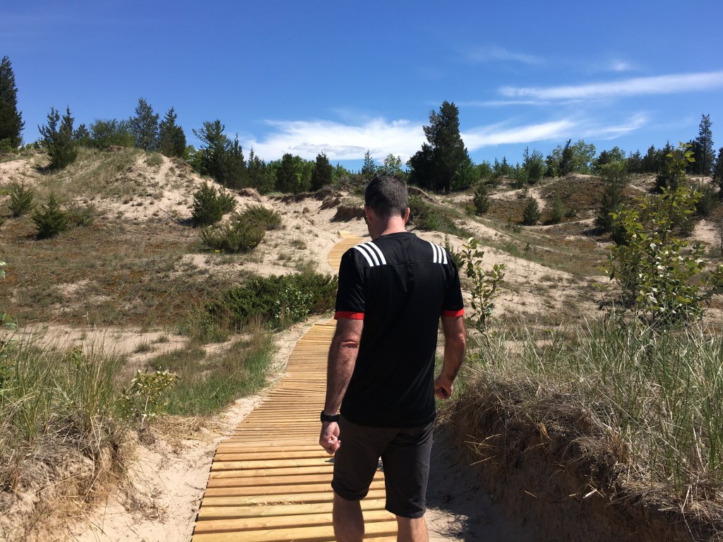
Jun 14 – Brent’s birthday and our anniversary! I certainly wasn’t going to abandon him for the trail today. We decided to pack a picnic and head for the ‘coast’ (of Lake Huron). After a bit of searching for the perfect picnic site, we landed at the Pinery Provincial Park. The beach itself was closed, but that was actually in our favour as it wasn’t at all busy. We had a perfect picnic (of leftover salads) and a lovely walk in the dunes.
Jun 15 – Day 8 Attempting my longest day so far. Destination: Inglis Falls in Owen Sound. My starting point was Sydenham Forest East – it was a fantastic beginning. The forest had that ‘magical’ feel, and the cracks in the rocks made me think of giants smashing things…. or geological forces at work….
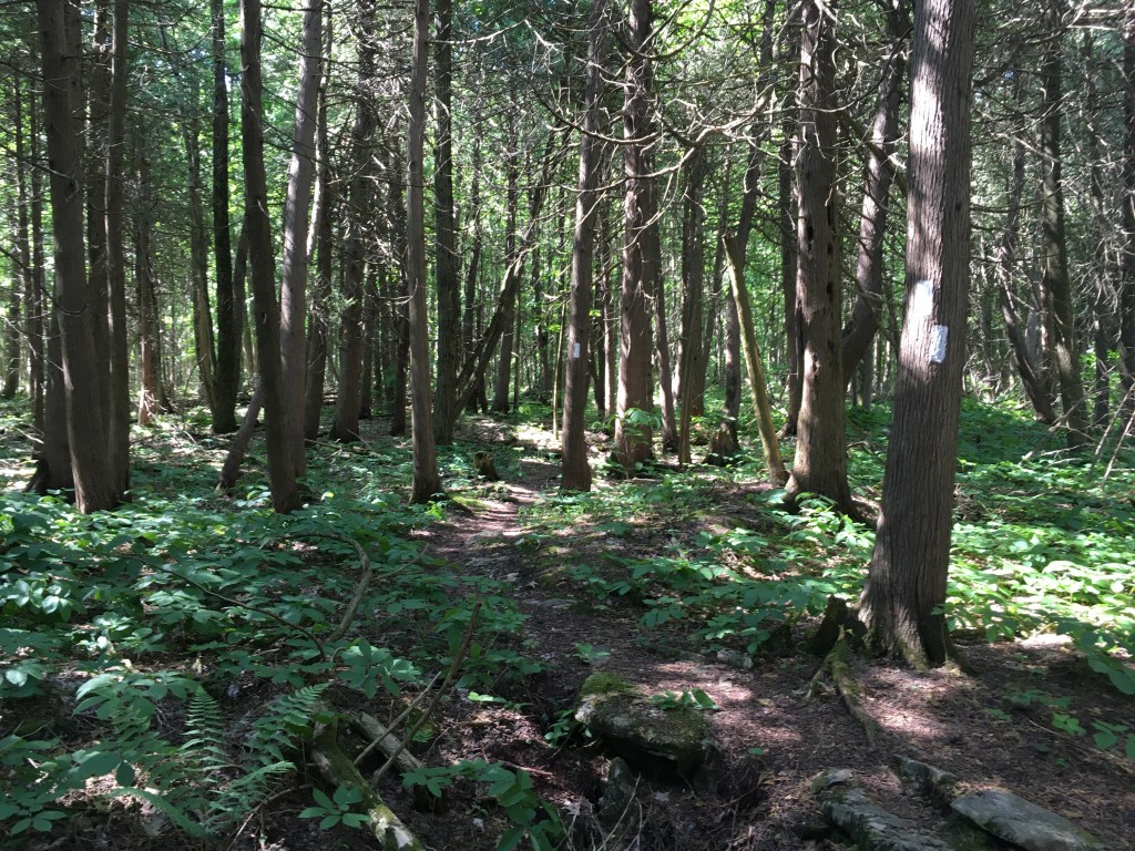
It was easy walking and wonderful scenery. I was happy I could make good time on this long km day.
All too soon the trail emerged on Highway 26. The next few kms weren’t as pleasant – it’s a busy road. I’m guessing the trail lost some land permission at some point as there’s an almost 5km detour to do a small forest section near the KOA camp. It makes me so mad when I see garbage, dogs where they’re explicitly forbidden, and people on closed trails. These are the things which lead to long busy road detours for everyone!
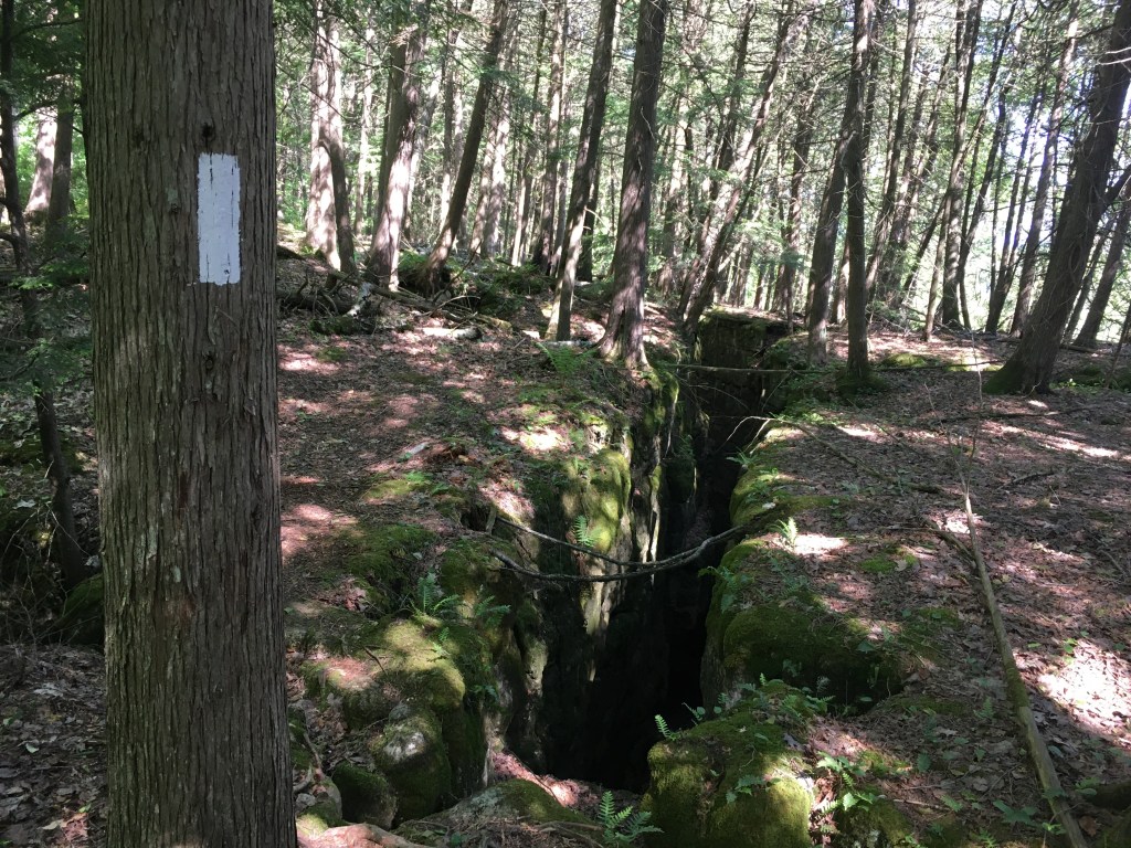
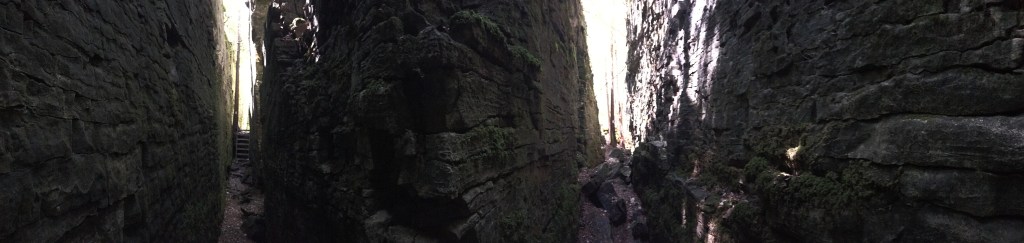
The road section passed eventually, as they do. The next forest section did not disappoint! One of the neatest crevice routes so far. I stood at the ‘T’ junction for a few moments enthralled. The walls were so high relative to the gap. It was cool and silent. Pictures don’t capture the experience at all!
In you go 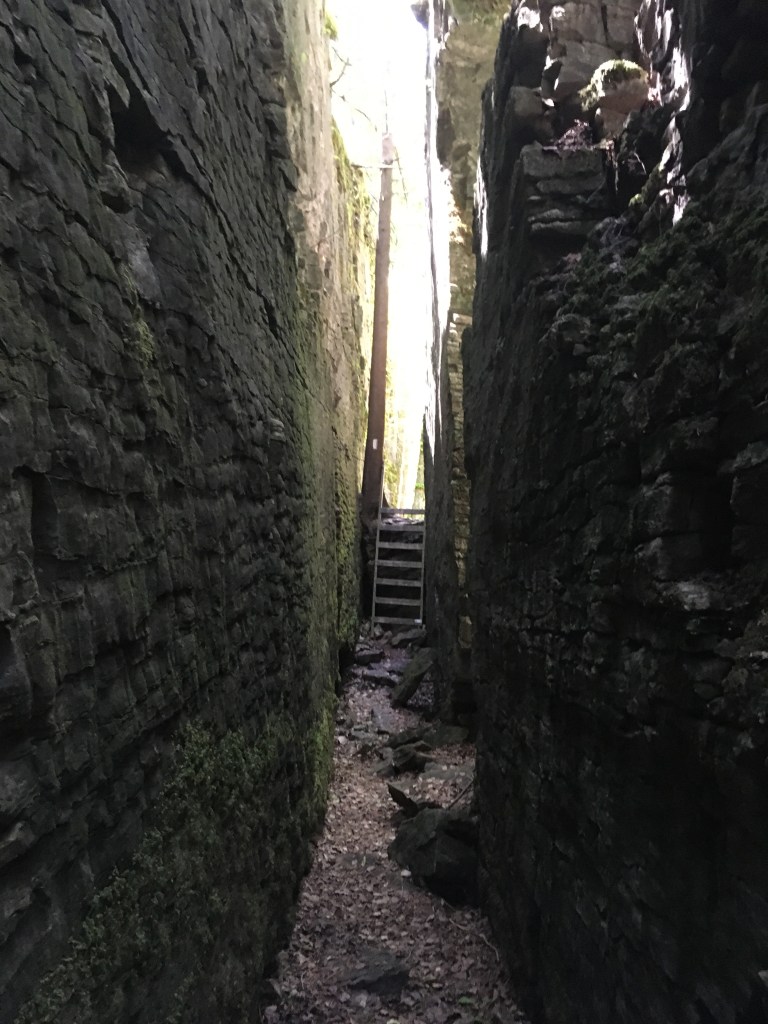
and out again
From reading other trail stories I knew the section above Inglis falls was tough and rocky. I’m glad I was forewarned. The rocky section was only a kilometre or 2, but at the end of a long hike it was tough. The worst part was that my mosquito strategy, usually to keep moving briskly and they leave me alone, failed. In the rocks I couldn’t go fast enough to out run them and had to resort to bug spray. It was a beautiful section which I sadly didn’t enjoy as much as I should have (eg – with fresh legs and a breezy day).
I made it! And Brent even came down the trail from the falls to meet me for the last section. 26.2km in 6 hours 55 minutes. 400m elevation gain, 460m loss
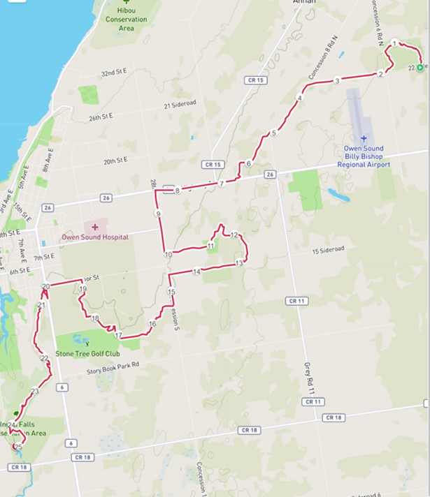
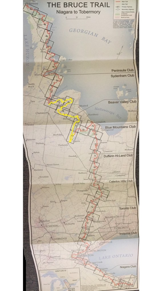
Another week with 4 hiking days, and a similar-to-last-week 82km, 160km overall. Upwards and onwards! I hope to reach Wiarton over the next week, but weather is looking HOT. I feel like I’ve hiked a lot, but looking at the map there’s a long way to go (yellow is what I’ve done so far).