Jun 16 – Day 9 Starting from Inglis Falls I headed North through the outskirts of Owen Sound. I decided to wear trail shoes instead of boots because a) I was sick of the boots after the long day yesterday and b) I expected easy ground and quite a bit of roads/rail trail. More on that later.
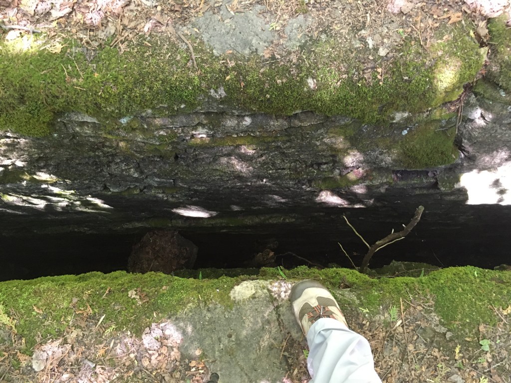
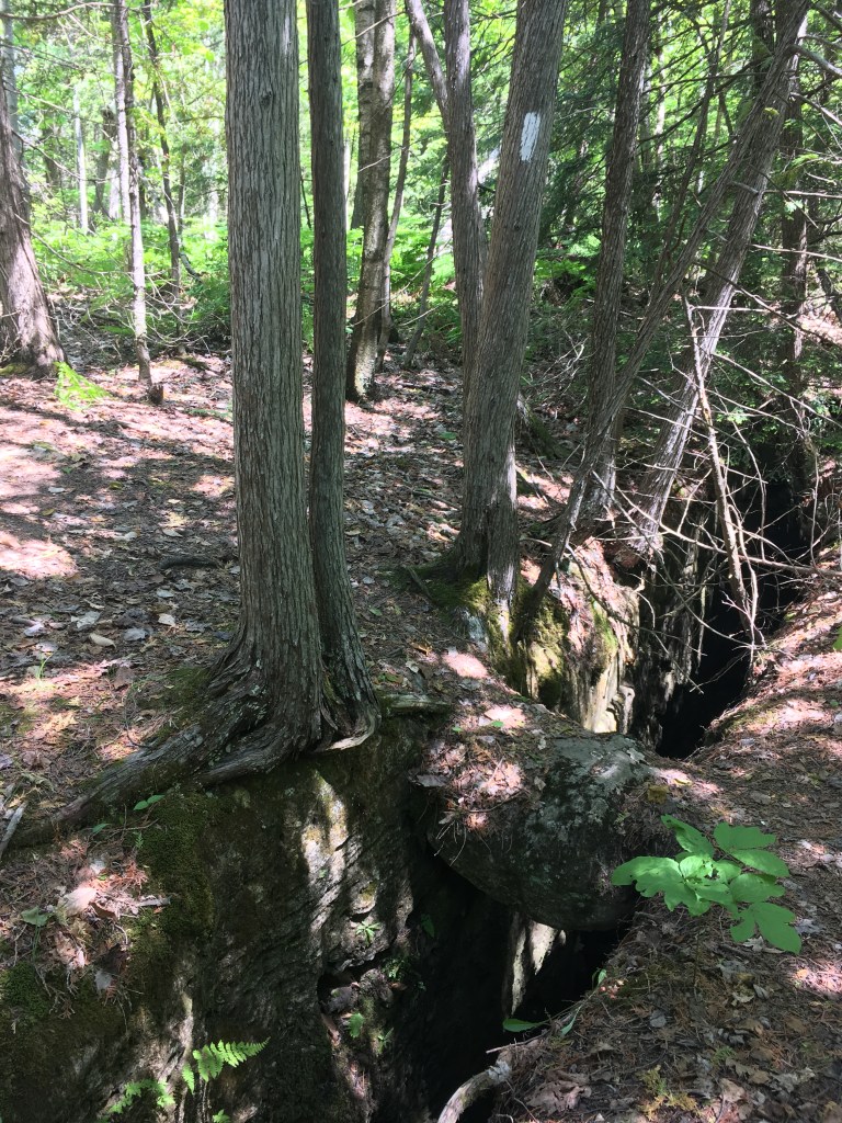
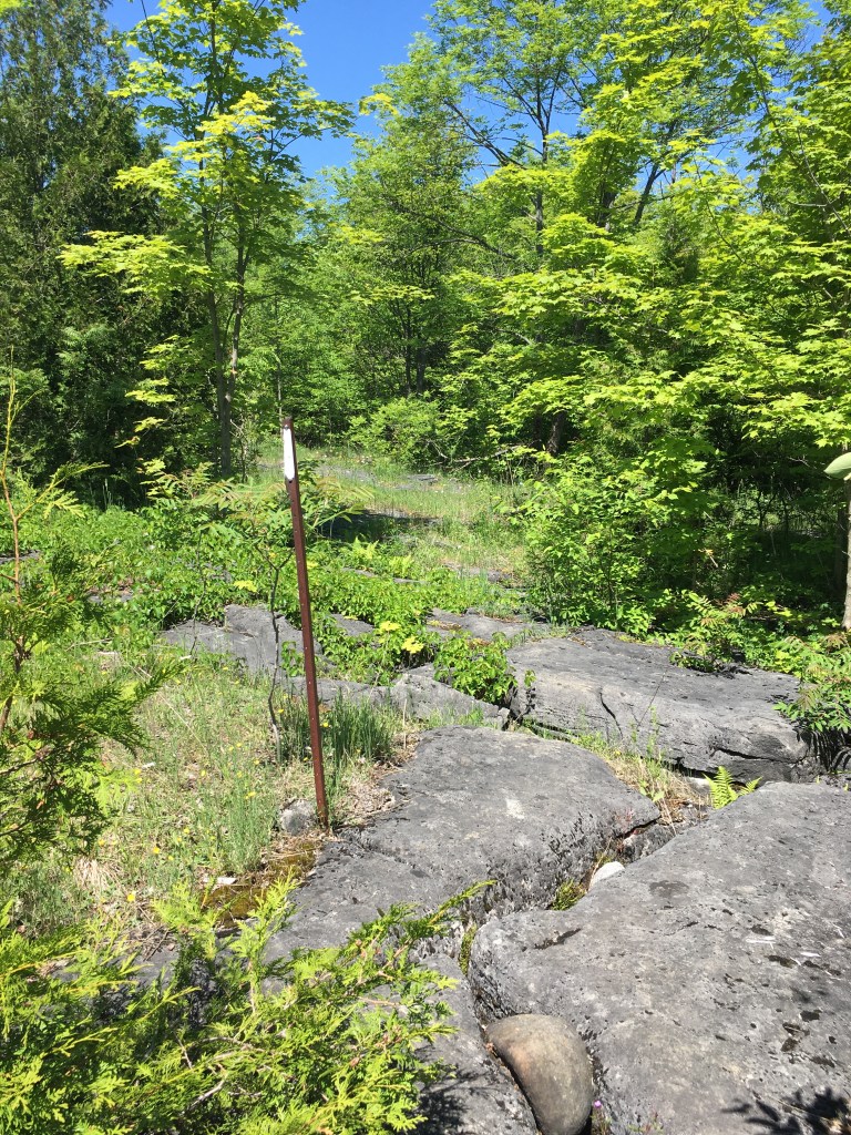
I was actually impressed that, despite being in Owen Sound, the trail felt remote and aside from the odd person cutting their grass and rare views into yards it could have been wilderness. My most notable thought during the day was you need to keep alert and watch your step in this section! I liked it a lot for excitement factor – there were many crevices across the trail. Most were quite small, 10cm or so, but some were big enough I could definitely have fallen in (and I’m not little). The photo with my shoe for scale is probably the most dramatic one (hence why I took a photo), but these crossings were abundant. None were more than a big step across for me (no leaping or anything), but if I had small kids or it was wet/slippery I would have been very anxious.
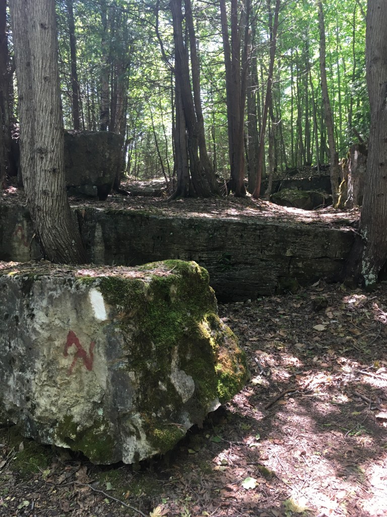
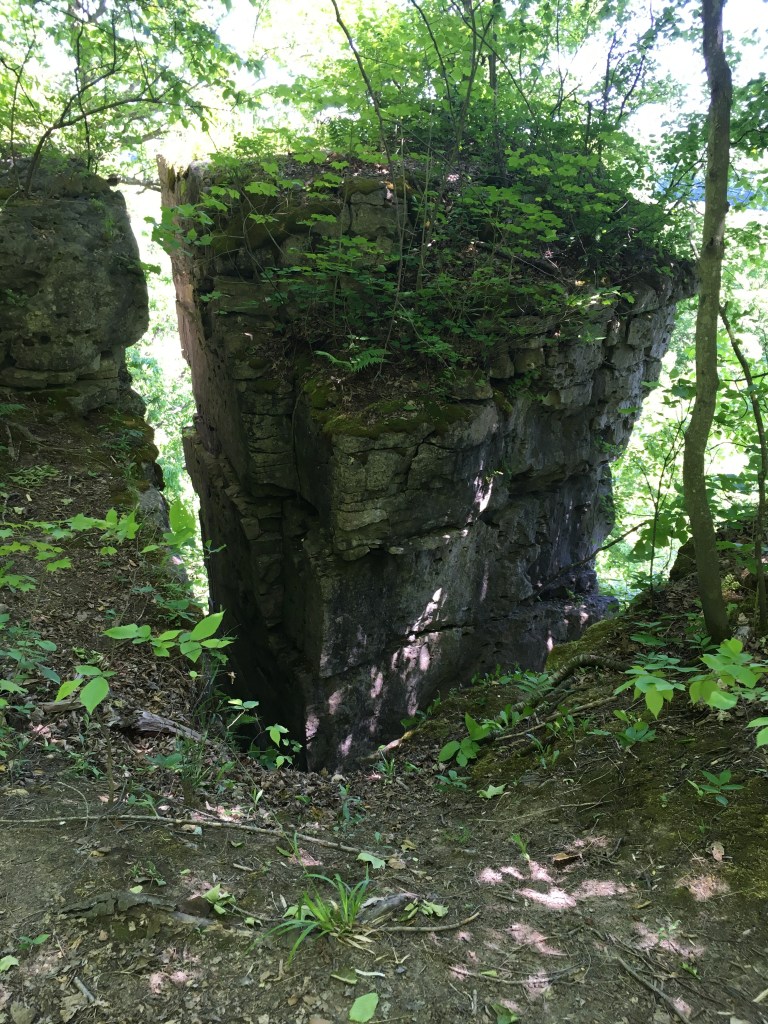
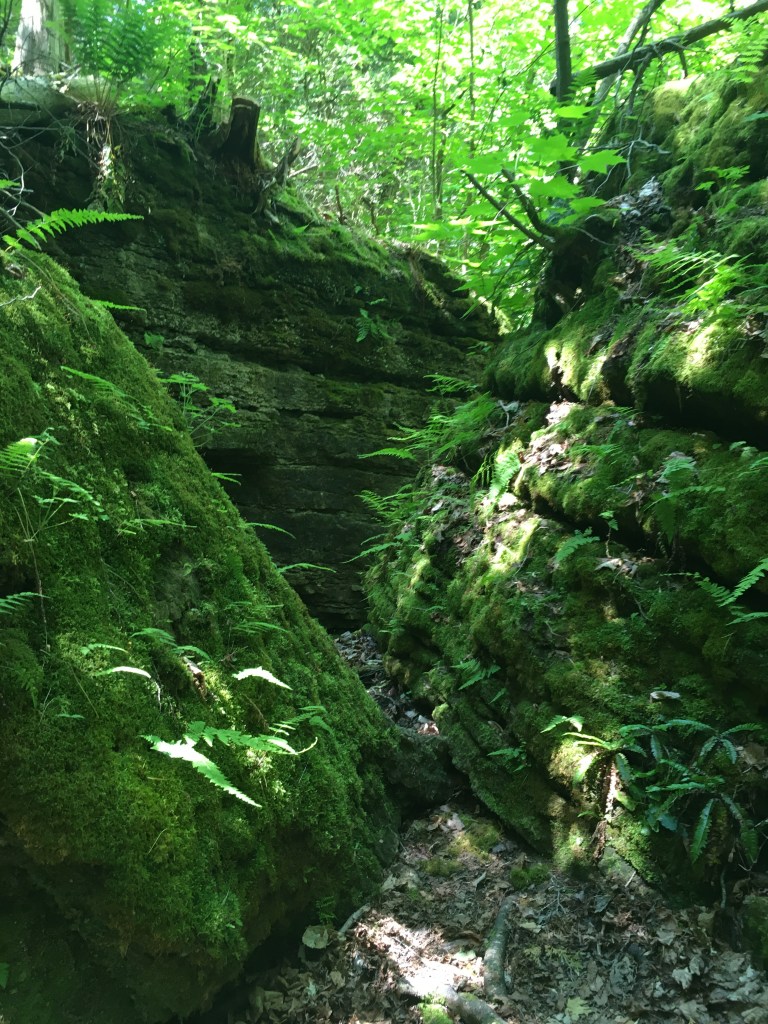
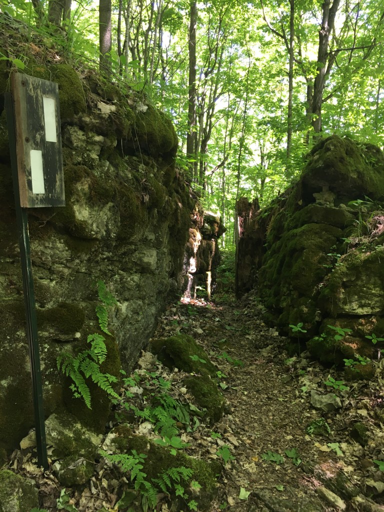
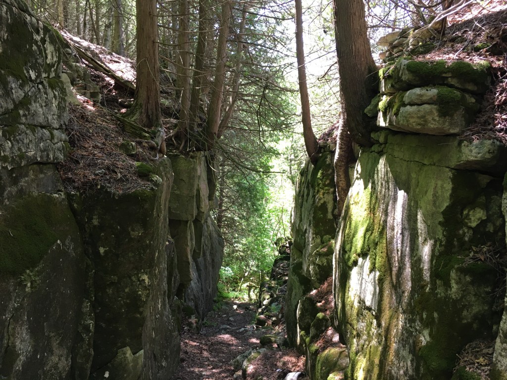
The rock formations here were excellent. I’m not particularly afraid of heights, but a couple of these made me a little nervous – especially hiking solo. (see the 4th photo in particular – it’s obviously been there a long time, so probably not likely to give way exactly when I cross over….).
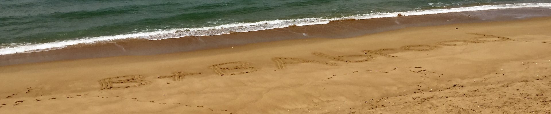
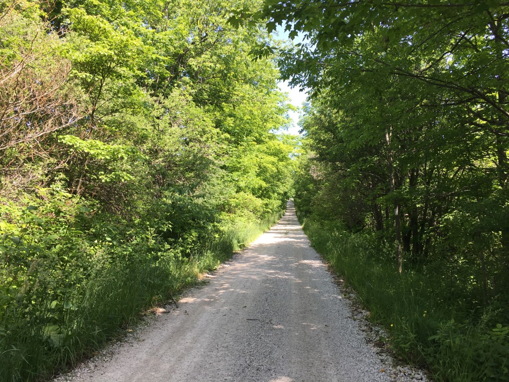
The afternoon was mostly roads through a subdivision and then part of the Rail Trail. I didn’t see any other people at all until the Rail Trail, where I encountered a few pairs out for a stoll. At about km 16 my feet were getting really sore. Perhaps because my trail shoes aren’t as supportive? Or was it the 26km from the day before? Either way, I was close to being done. I called my trail driver/fantastic husband and he headed over to get me. I did make it a few more km before he arrived (propelled by hiking poles), but it was with a grimace. I was pretty thrilled to see him pull up with the AC blasting and a cold drink for me. 19.98km in 5 hours 4 minutes. 220m elevation gain, 205m loss
Jun 17 – No hiking today (feet angry from yesterday!). We spend some time finishing last week’s blog and generally lounging around.
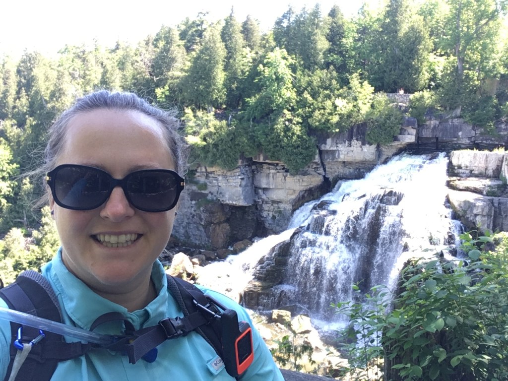
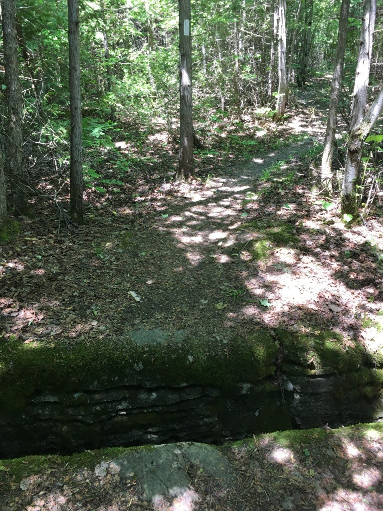
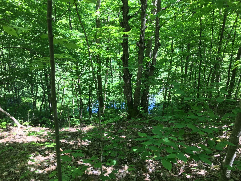
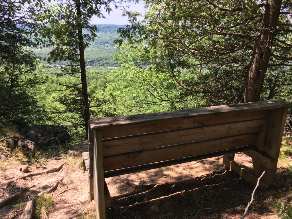
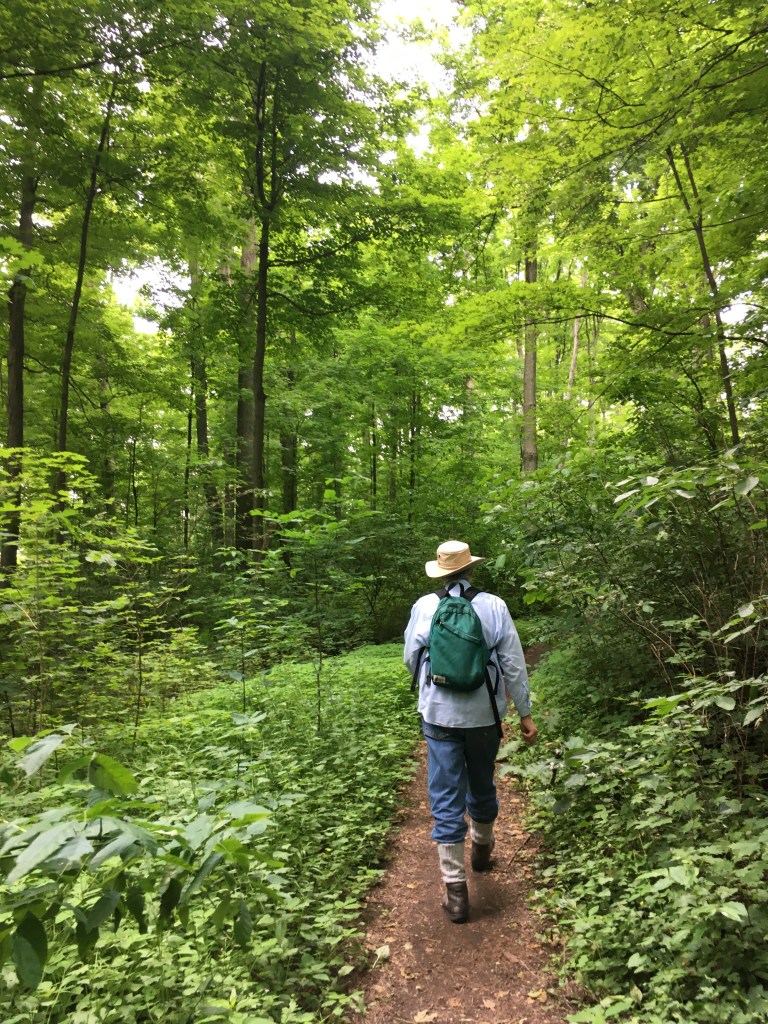
Jun 18 – Day 10 I was about 75% recovered from 2 days ago so off I went. Albeit with a slightly less ambitious distance plan than some prior days. This was a gorgeous hike! A large part of it was through ‘The Glen’, where the trail wove through rock cracks and then hugged the crest of the escarpment overlooking ponds and marshes. What I can’t show you here was the SMELL – it was Fantastic. A strong scent of pine and cedar and all-things-living permeated the area. And the sound! A deep bass of frogs echoed up the cliff. The combination was deeply soothing and pleasurable. There was a >10km section without any road crossings and the trail was largely flat and smooth. I saw one couple the ENTIRE day. They were as surprised to see me as I was them, after hours of solitude. We exchanged pleasantries, kept a 2m distance, and that was it for people.
The afternoon was a little more rugged with big rock steps here and there and I started to worry about making my pickup time. And then, with 4km to go, I ran out of water. For some stupid reason I’d only brought 3L instead of the 4L I’d carried every other day. With only 4km left I knew I’d survive. But I had to speed up! By the end I was kind of trotting down the trail. It’s a good thing I didn’t see any people as I’m sure I looked a bit deranged. It was a bonus to hit the forest road in the last couple km where I could speed up even more. I think in the end I was only about 3 minutes late, and my dear husband was waiting for me – WITH cold water. What a guy!
20.9km in 5 hours 3 minutes. 210m elevation gain, 225m loss
Jun 19 – With a hot forecast and still-aching-feet it was another home day. Nothing but cooking, interneting, and relaxing.
Jun 20 – Day 11 I waffled about hiking today. I was feeling recovered for the most part, but it was forecast to be very hot. I chose to head east from my last point in the Beaver Valley section instead of continuing towards Wiarton. The Wiarton direction had more long segments with no exits, and it felt wise to keep my options open to end early on this hot hot day. I also chose shoes instead of boots again, and this time it was a successful choice.
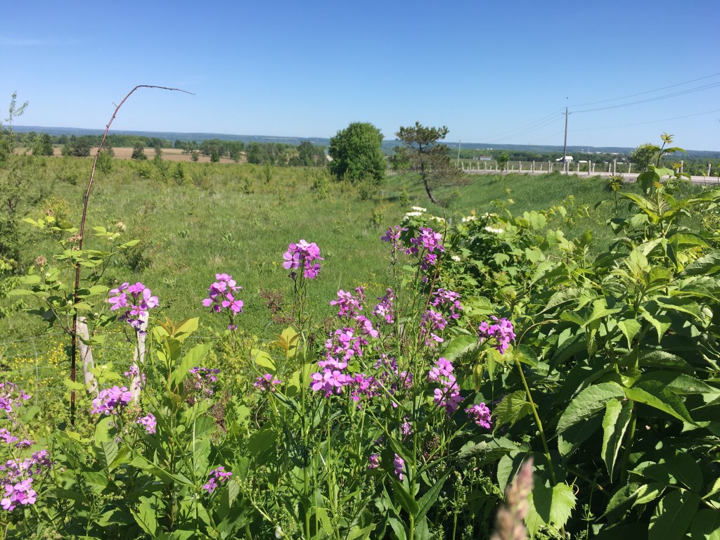
First up came some quiet road km, and then I descended through Old Baldy Conservation Area. I realized it was Saturday and worried it would be busy, but I only saw 4 people there. On my map (from 2012 edition) the trail stayed on top of Old Baldy and just continued North. I’m not sure what happened to cause the change, but now you go all the way down to the highway, then all the way back up Sideroad 7B. Actually it was pretty scenic – going through Kimberly on the sidewalk was nice, and you get great views looking back down the road during the climb. Although I’d recommend doing it when the temperature is <30C….. bit of a sweaty trip.
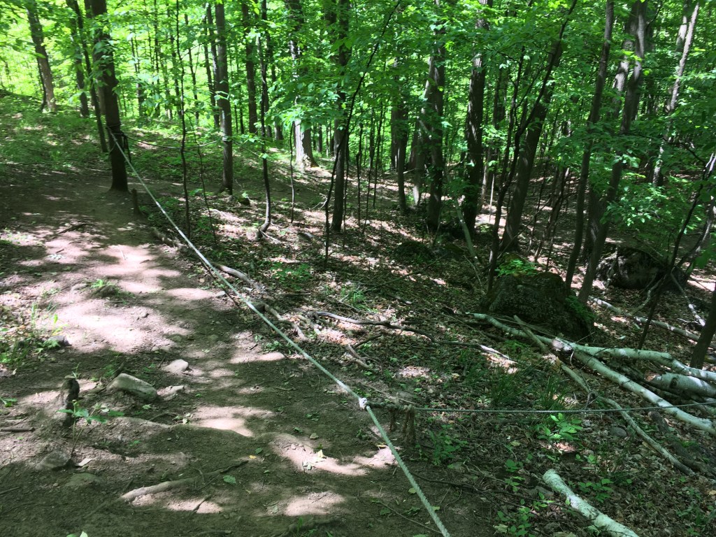
Ropes at old Baldy – likely needed during rain 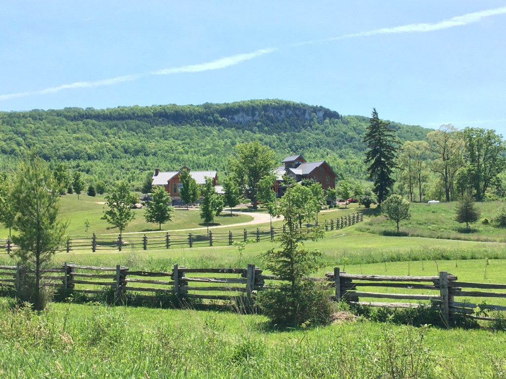
Looking back up at Baldy from the road 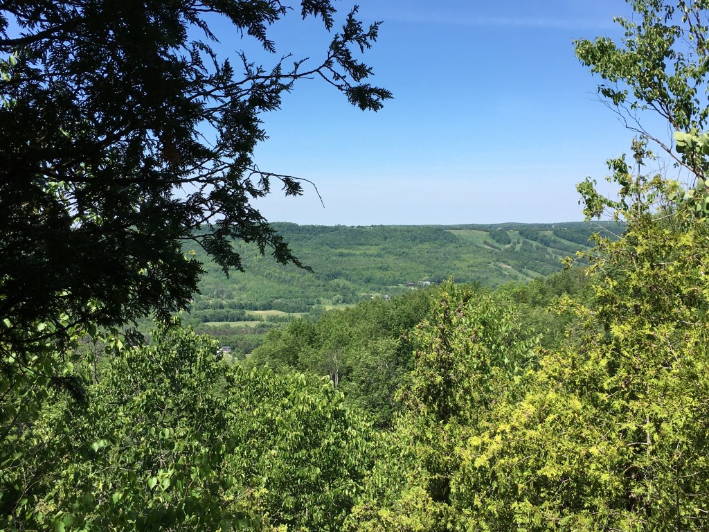
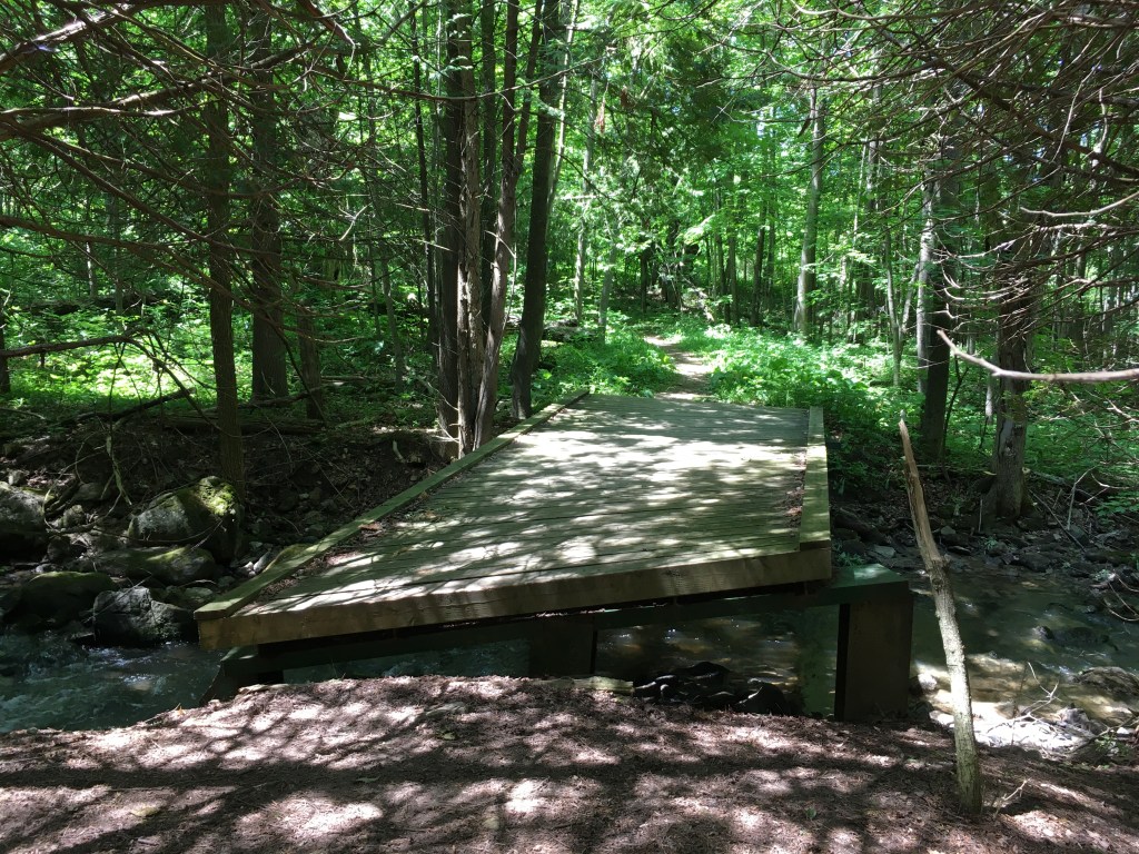
I survived the hill and the weekend traffic on the narrow gravel road and headed into the next forest section. In the shade it was quite pleasant. The trail was very nice and had lookouts, fields, rock formations, streams, mosquitoes in my eye…. it had it all! Mosquitoes aside, it was a very lovely section. Out onto Fox Ridge Road was HOT again, with no shade. Luckily, we seemed to have gained a bush sections here since 2012. Many thanks to the land owner and volunteers for this section off Fox Ridge! It was great and well designed. Lots of shade and great trail condition. When it did pop out into grassland there were big views North toward the Bay. I really enjoyed this ‘new’ section and was incredibly grateful to not be on the road in the hot sun. A last km or so on the road and my honey came to collect me.
18.23km in 4 hours 29 minutes. 410m elevation gain, 420m loss
Jun 21 – Our time at the farm stay was up after 2 great months. It is time to return to BC and find a more permanent place to live as International travel is still not back on the table. We’re looking at a lot of different real estate listings and need to see them in person to make a final choice. So – we are headed back to BC in early July. In the meantime, because Ontario has approved 10 person bubbles, we can do a short stay with each of our parents. I haven’t abandoned the Bruce! I will keep doing my end-to-end whenever possible in the future.
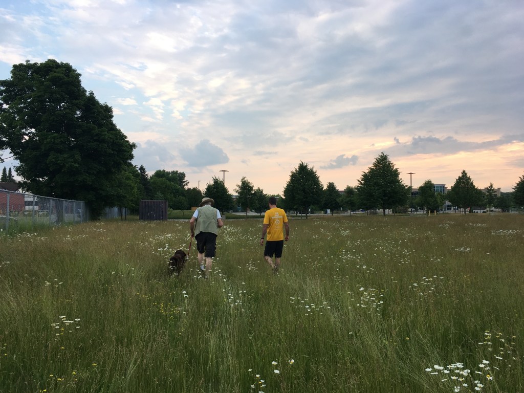
Dog walk in Guelph
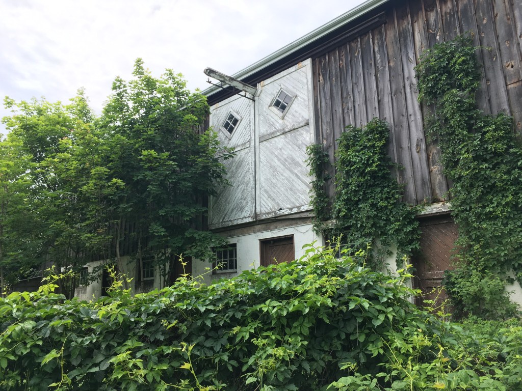
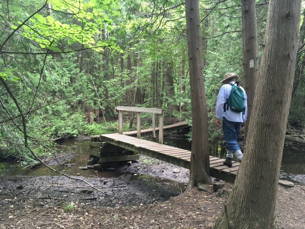
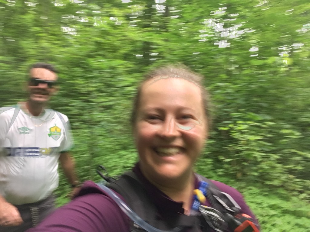
Jun 22 – Brent and my Dad were up for a Bruce Trail hike, although the weather was going to be very hot and neither of them were interested in my usual 20km march. We headed to the closest spot to us with a convenient loop – Scotsdale Farm. It was a wonderful time. We enjoyed the fish in the pond, old farm buildings/walls, information panels, bridges, and trail company. My Dad was worried about slowing us down, but he is so fast! We were working to keep up with HIM. This benefited us all for mosquito control (they couldn’t catch us moving).
Hiking fast!
Excellent trail company
I wrecked the GPS log by forgetting to turn it off when we got back in the car – doh! The last couple km we were going 50km/h….
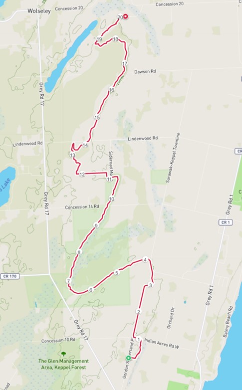
A total of 3 end-to-end hiking days this week covering 59km, a grand total of 219km. This is about 25% of the whole trail – which is more than I expected based on how the overall map looks! (The loop at Scotsdale farm was mostly Side trail so I’m not adding it to the total – but I am so happy to have had a chance to hike with my Dad and Brent.)